Geophysical Surveys
Detailed information of the seafloor and the sub-seabed strata is required for a wide variety of applications. Geophysical surveys are conducted to secure this data to in order assess:
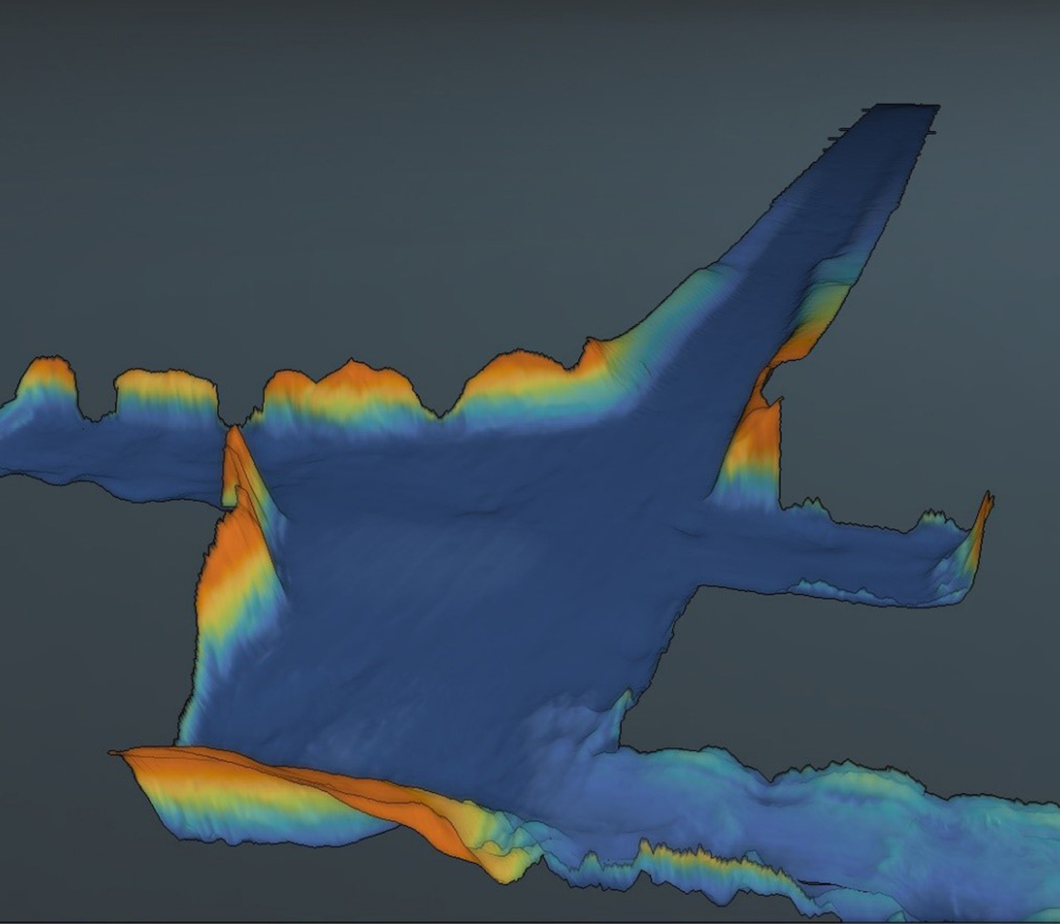
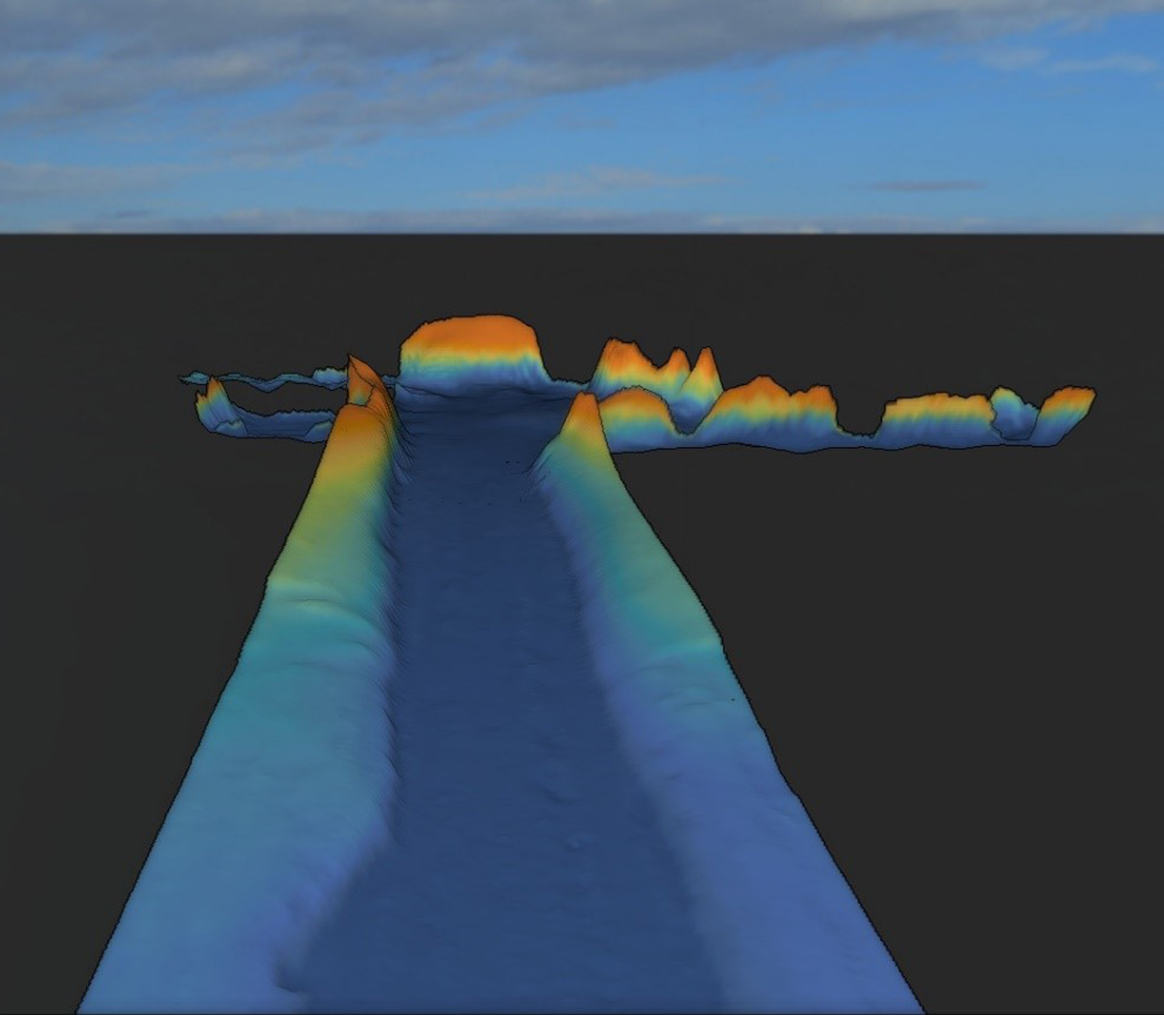
- Seafloor topography and geomorphology
- Natural and man-made objects, hazards and obstructions on the seafloor
- Seafloor and sub-seabed soil conditions
- Buried natural and man-made objects and features
Novus Geosolutions utilizes state-of-the-art equipment and experienced personnel to perform nearshore and offshore geophysical surveys to present reliable and accurate data and information required for various applications such as:
- Hazard surveys for clearance of area during 2D and 3D seismic surveys
- Site surveys at locations for rig positioning, platforms and other marine infrastructure
- Pre-engineering survey for assessment of platform / jacket sites and pipeline/cable routes, SPMs and other marine infrastructure
- Pre-construction surveys prior to installation of the subsea infrastructure
- Post-construction /as-built survey subsequent to the installation of the marine assets
- Post-con• Route clearance surveys for ships and barges
Typical equipment utilised for conducting geophysical surveys are:
- Small boat and /or supply vessel
- Precision DGPS systems
- Navigation / data acquisition software and systems
- Tide stations
- Heave compensators / motion sensors
- USBL systems for precise positioning of towed sensors
- Single-beam and multi-beam echosounders
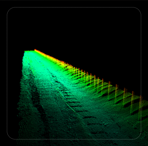
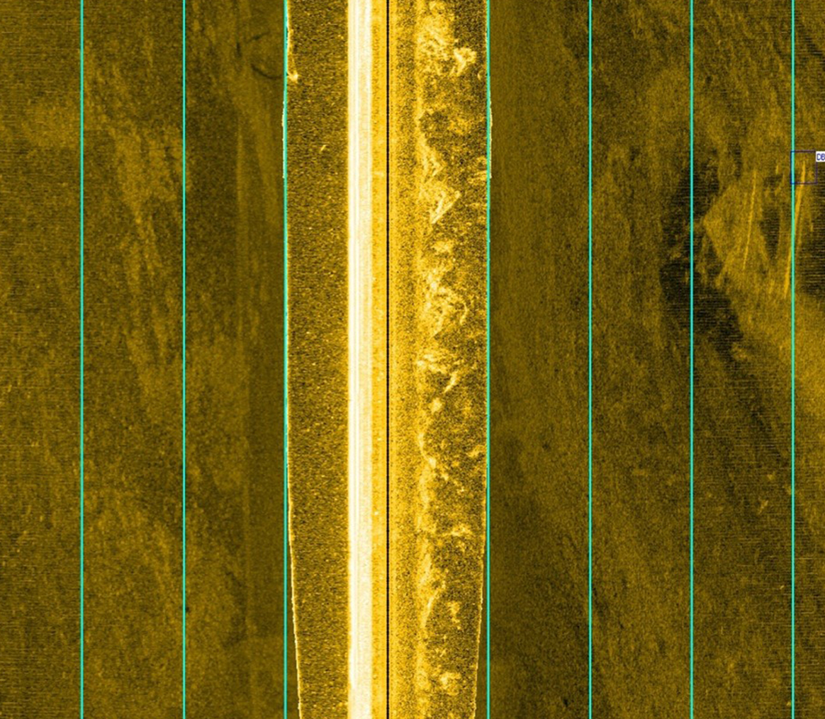
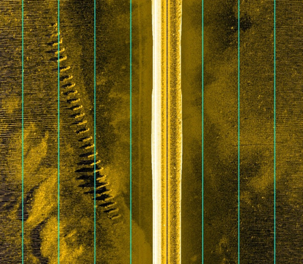
- Sidescan sonars
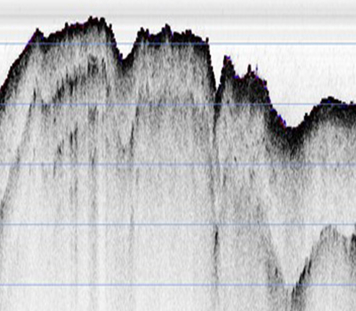
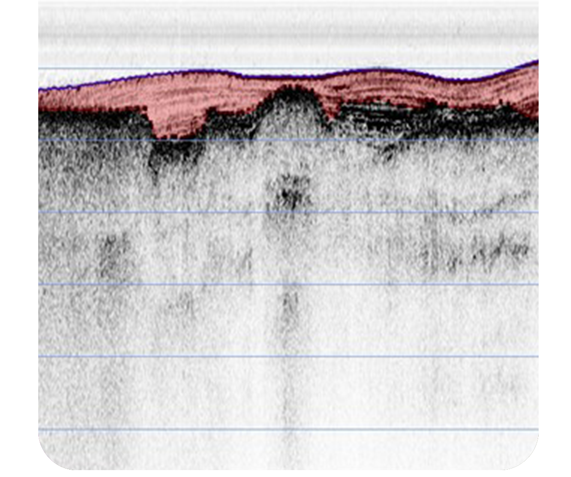
- Sub-bottom profilers – sparker / boomer / pinger systems
- Marine magnetometers
- Drop corers and grab samplers