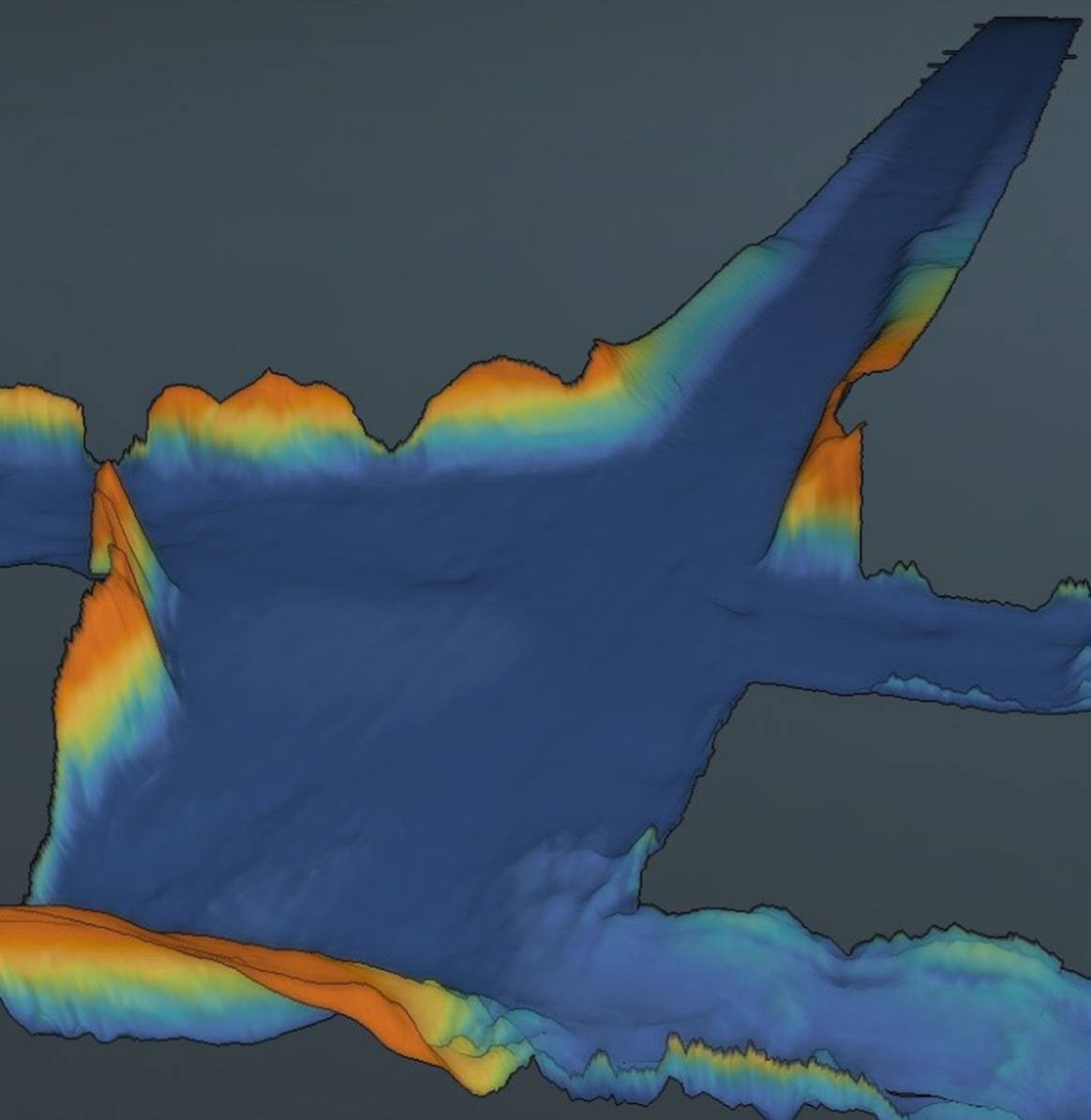
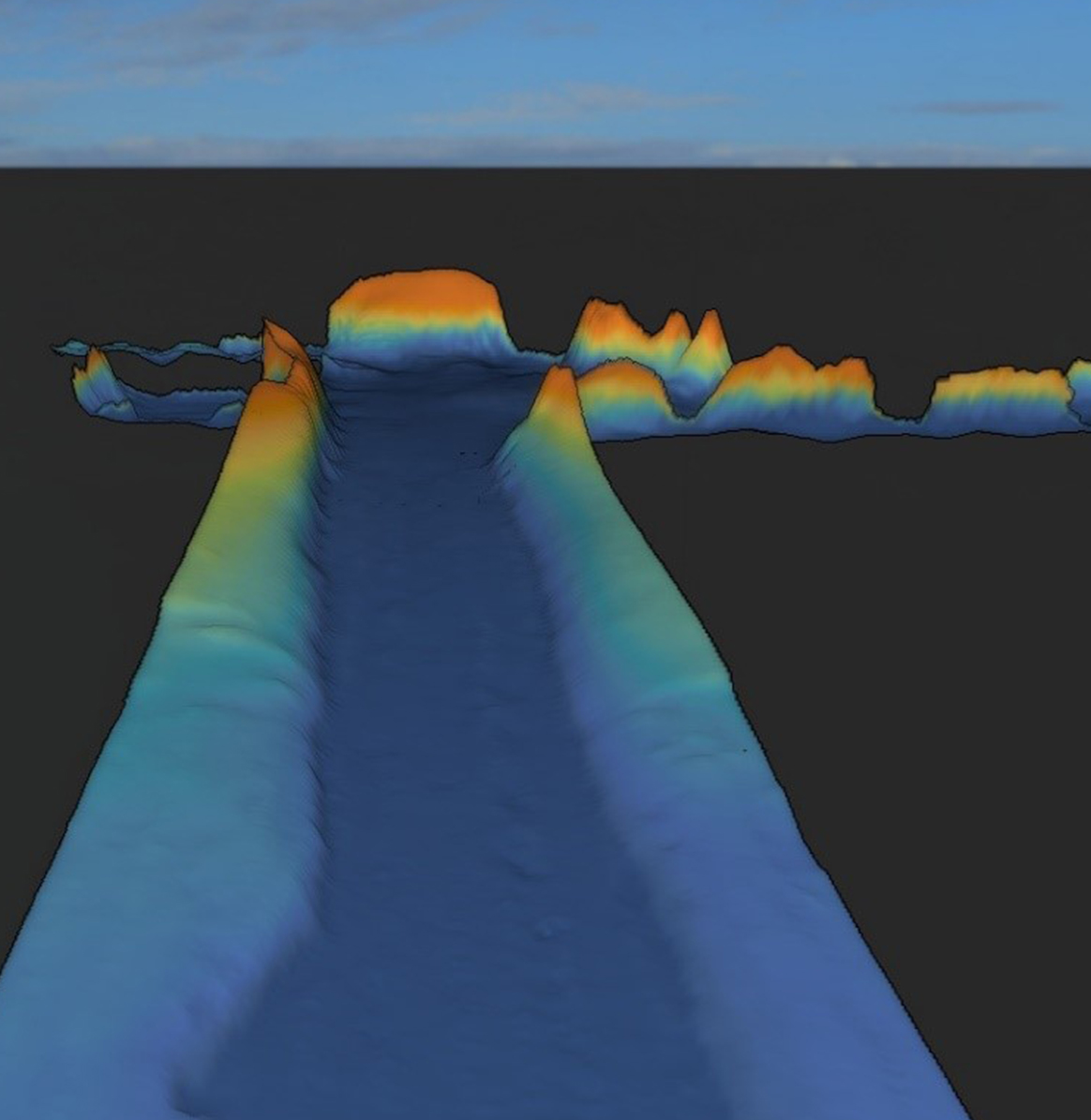
Hydrographic Surveys
We perform nearshore and offshore hydrographic surveys to accurately assess the water depths and seafloor topography for various purposes such as:
- Coastline monitoring
- Pre and post dredge water depths during dredging operations
- Impact of any storms nearshore and / or in navigation channels
- Construction of artificial islands
- As part of geophysical surveys for engineering and construction purposes
- Shipping routes and channels
- Small boat and /or supply vessel
- Precision DGPS systems
- Navigation / data acquisition software and systems
- Tide stations
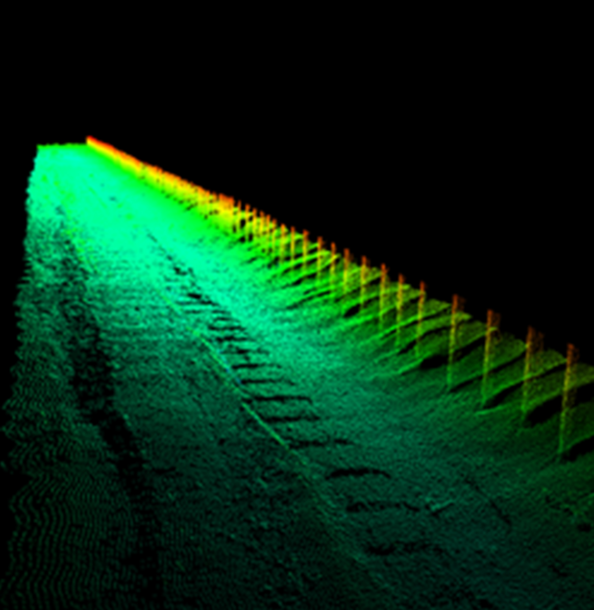
- Single-beam and multi-beam echosounders
- Heave compensators / motion sensors
Typical equipment utilised for hydrographic surveys are: